Commodity Watch
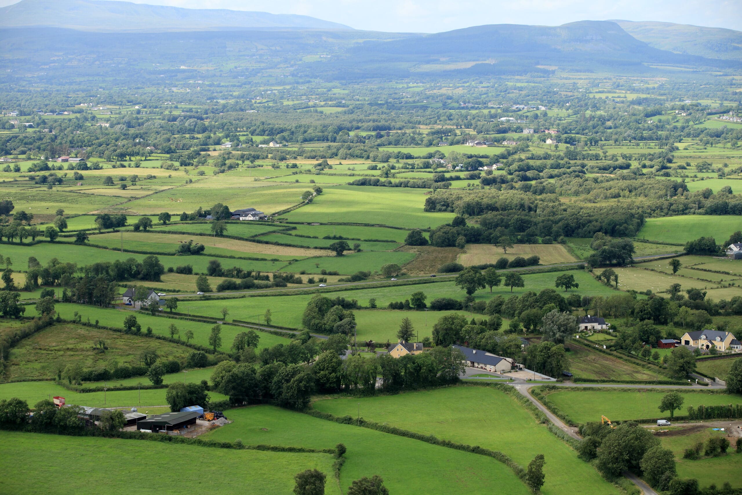
Following a report by the European Court of Auditors, which highlighted the inconsistent and different approaches taken by Member States to identifying and mapping Less Favoured Areas (LFA), the EU Commission responded with legislation requiring the designation of Areas of Natural Constraint (ANC) according to EU-wide objective criteria. These new ANCs will effectively replace the current LFA within the context of the imminent CAP reform.
A consultation on how LFAs should be designated across Europe began in 2008 and the UFU lobbied strongly, and successfully, to ensure criteria was included to take account of our wet maritime climate. The new approach to designation therefore identifies constrained land according to eight biophysical criteria relating to climate, soil and slope. Designation must take place on the basis of a recognisable administrative unit such as an electoral ward or townland. If the administrative unit has more than 60% of its eligible agricultural area meeting at least one of the biophysical criteria then it is mapped as an ANC. The preliminary mapping stage indicates that the majority of Northern Ireland is defined as constrained.
However the Regulation also stipulates that Member States must fine tune the maps to remove areas where the constraint has been overcome by investment or economic activity. Given that Northern Ireland has no significant irrigated land or comprehensive drainage records, fine tuning must be undertaken on the basis of economic indicators such as standard output. Standard output is a measure used across Europe to calculate the average monetary value of agricultural output based on regional farm-gate prices over a 5 year period. Guidance from the EU Commission suggests using a fine tuning threshold of 80% of the standard output regional average. This means that administrative units with a standard output per hectare above 80% of the regional average would have to be removed from the designated constrained area. There are concerns that fine tuning at this 80% level could remove genuinely constrained land and so DARD are proposing to fine tune using a 100% threshold. However this will have to be approved by the EU Commission.
DARD released draft ANC maps before Christmas showing the different scenarios of designating at electoral ward/townland level and using a standard output of 80% and 100%. However as the fine tuning process is not complete these maps are not yet final and so the areas may alter slightly. The position of the UFU Hill Farming Committee has always been to try and retain as much of the current LFA land as possible, although there is a recognition that a lot of the current Disadvantaged Area will likely fall out of the new ANC. It is clear that a lot of work still needs to be done, thereby underlining the fact that we are not ready to move to a new ANC designation in 2015. The Committee have been adamant that the ANC scheme should be placed in Pillar 2 on the basis of the current LFA, with the new designation not coming in to force until the 2018 deadline. If this scheme was to be shifted into Pillar 1 then the new designation would have to come into operation from 2015. It is also hoped that this option would provide an opportunity for transitionary support for those existing DA farmers who would in future be excluded from what will be in effect an SDA focused scheme.


